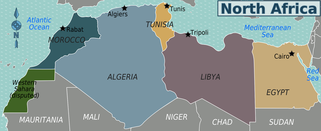
North Africa Regions Map by Peter Fitzgerald used under CC BY-SA Source 1
Western Sahara- The Disputed Territory
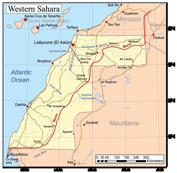
Western Sahara Map by Kmusser used under CC BY-SA Source 3
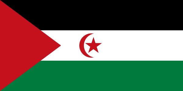
Flag of the Sahrawi Arab Democratic Republic by El Uali Mustapha Sayed used under Public Domain Source 4
|
General Facts
Capital
No Capital Largest Cities El Aaiun Population 554,795 (2013 est) Area 103,000 sq mi(266,000 km sq) Area-Comparative About the size of Colorado Bordering Countries Morocco, Algeria, Mauritania Date of Founding Current State November 14,1975 Type of Government Disputed Sovereignty Languages Spoken Arabic, Spanish, French, Berber Religions Practiced Muslim (99.9%), Others (0.1%) GDP per Capita N/A Latest GDP Growth Rate N/A Top Exports Phosphates National Holidays New Year’s Day – January 1, Independence Manifesto Day – January 11, Labor Day – May 1, Throne Day – July 30, Oued Ed-Dahab Day – August 14, Revolution Day – August 20, Green March Day – November 6, Independence Day – November 18 Money Currency Moroccan Dirham, Sahrawi Peseta Life expectancy 62.27 years Literacy Percent: 52 percent Source of data in Reference section: see source 2 |
Correlations Between Historic events and the Economy
|
First off follow this link here to go to an up to date interactive timeline of Western Sahara and go through it so as to have a general knowledge of the territories history.
Western Sahara was formerly a Spanish colony, Spain withdrew from its former colony of Spanish Sahara in 1976, but is now ruled by Morocco who claimed the territory in 1979. "This territory has been waiting four decades for a shot at independence it was promised but never received. After half a century of global decolonization, Western Sahara is the largest piece of land remaining on the United Nations’ list of “non-self-governing territories”" (Abelson, 2013). 2013 marked the 40th anniversary of the push for independence in Western Sahara. This push has been surprisingly peaceful for the last 20 years. A war between the Polisario Front and Morocco contesting Morocco's sovereignty in Western Sahara ended in a 1991 cease-fire and the establishment of a UN peacekeeping operation. "The 2,700 km- (1,700 mi-) long defensive sand berm, built by the Moroccans from 1980 to 1987 and running the length of the territory, is used to separates the opposing forces. Morocco controls about 80 percent of the territory west of the berm" (CIA, 2015). Local demonstrations against the Moroccan authority happen often. The conflict has kept Western Sahara from growing economically. Below is the GDP of Morocco since 1960. It is very low and it can be speculated that Western Sahara's GDP history is similar if not worse due to the conflicts it has had in its history. Source of data in Reference section: see source 2 and 5 |
|
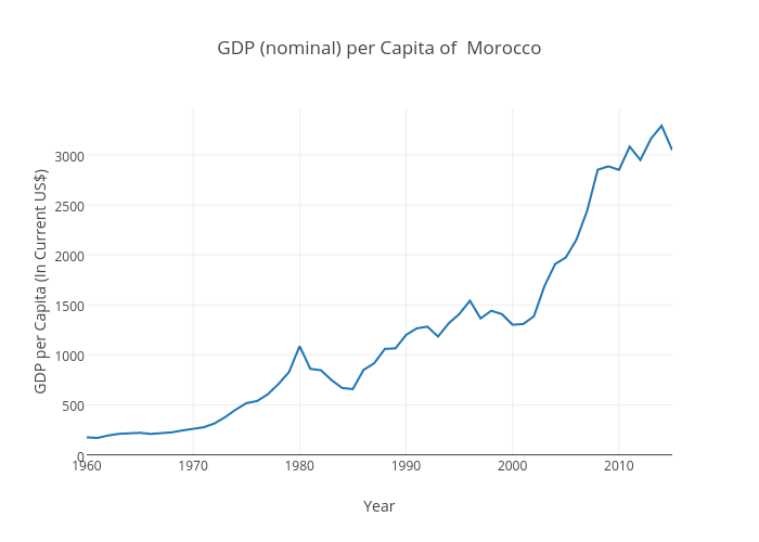
GDP (nominal) per Capita of Morocco by Elijah Richter used under CC BY-SA Source of data in Reference section: see source 7
Natural Resources
|
Western Sahara has a "small market-based economy whose main industries are fishing, phosphate mining, and pastoral nomadism" (Theodora, 2013). The harvesting of these resources employes two thirds of the employment force. In fact the area has some of the largest reserves of phosphate deposits, but they are owned by the Office Cherifien des Phosphates which is a Moroccan state agency so the profits don't go to Western Sahara. Some believe there might be natural gas and oil but there is not enough organization to find out for sure and there is conflict on who would control it between Morocco and the Polisario Front .
There is a small part of the economy that is made up of by agriculture and tourism but mostly the country is too poor and dry for these industries to bloom. All trade and other economic activities are controlled by the Moroccan government. Western Sahara's legal status as a territory "makes the exploitation of its natural resources a contentious issue between Morocco and the Polisario" (Theodora, 2013). Western Sahara's biggest challenge going into the future is diversifying their industries in order to provide proper employment to hire population. This would be an easier thing if Morocco had less control over the territory. Source of data in Reference section: see source 6 |
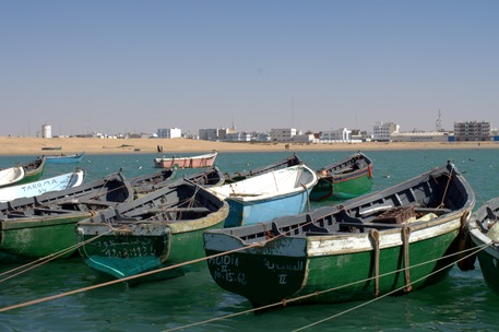
Port de Laayoune by Cingularite used under CC BY-SA Source 8
|
Agriculture
|
Western Sahara is a dry place. It does not have enough rainfall or freshwater resources to maintain a large agricultural industry. It has
few natural resources. This means that Western Sahara imports most of its food. The things they do produce are fruits and vegetables (grown in the few oases); and nomads keep camels, sheep, goats. Oases are highly depended on. The livestock sector is dominated by the Arabian camel. Farmers practice camel rearing in most provinces. There are also goats sheep and cattle but there are far more camels than anything else. Its a bleak picture but not all is lost. "Traditional and ingenious know-how of farmers relating to the management of water resources and agricultural oases helps the agricultural industry. Also mild winters om the coast allows the production of vegetables during the off-season" ("Agriculture & Farming"). Basically because the area is made up of mostly desert agriculture is limited.
|
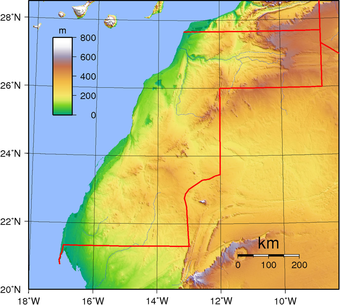
Western Sahara Topography by Sadalmelik used under Public Domain Source 10
|
Economic Development
Western Sahara is a another story of a place where the government controls the economy with an iron fist. But what makes Western Sahara's economy and Western Sahara itself unique is that it is a territory and its economy is controlled by Morocco. Western Sahara is a poor place. It has conflict after conflict and unorganized. Other countries take advantage of this and take their resources. This means that Western Sahara is unlikely to grow and its economy will stay the same. Most likely it will not improve unless it gains its independence or Morocco's economy improves and brings Western Sahara with it.
Cuisine
The food of Western Sahara is mostly imported and agriculture is limited because of the area being mostly desert. Thier style of food is derived from North African customs.There are some fruits and vegetables grow for food but they are not out of the ordinary. Some common foods from the Western Sahara are: Meifrisa, a traditional dish of the region prepared with lamb or camel meat, onion, and garlic, served atop unleavened bread, couscous, goat meat, and camel milk.
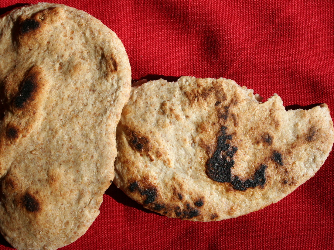
Flatbread by Jonathunder used under CC BY-SA Source 11
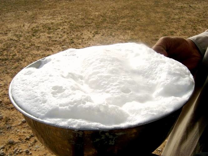
Fresh Camel Milk by Amirobot used under CC BY-SA Source 13
|
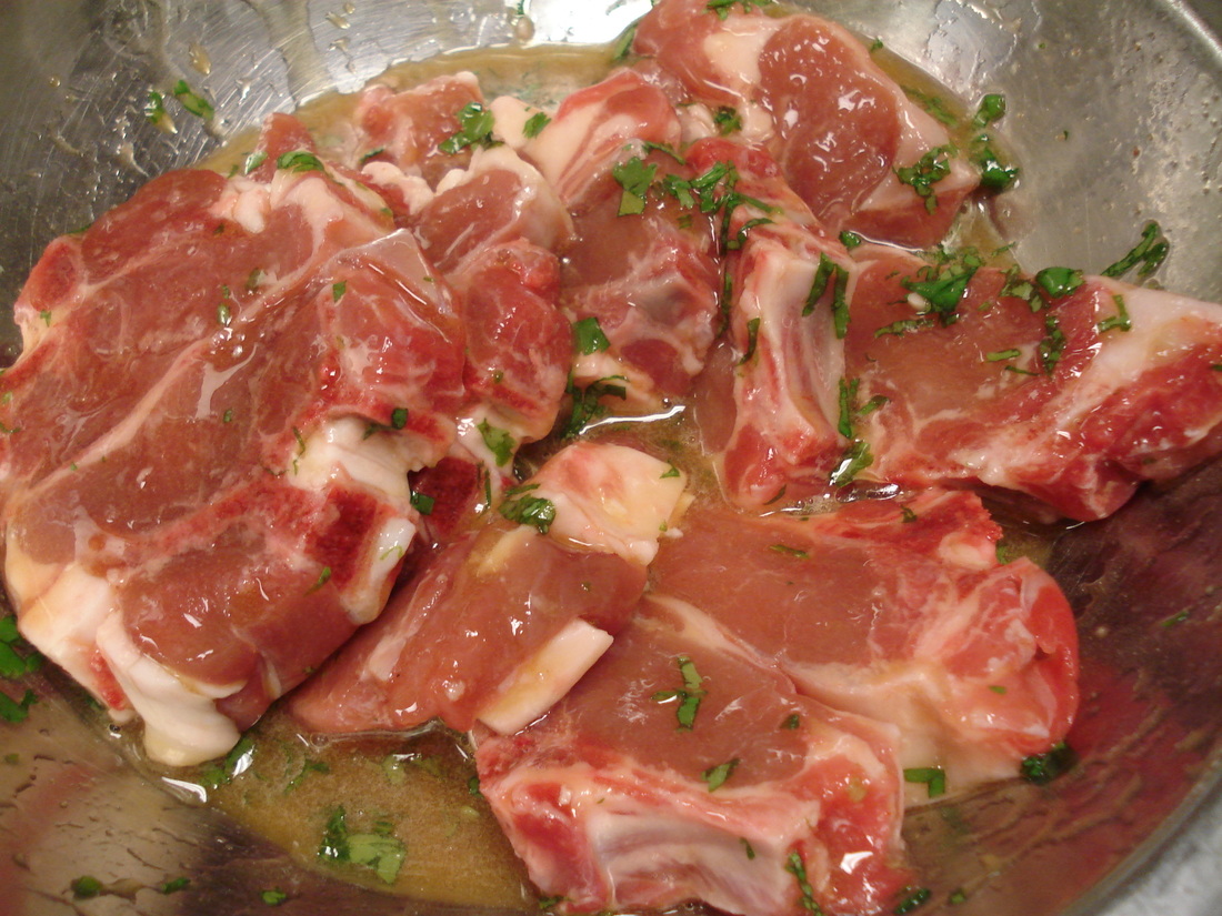
Goat Chops by David Blaine used under CC BY Source 12
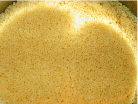
Couscous by Josefine Stenudd used under CC BY Source 14
|
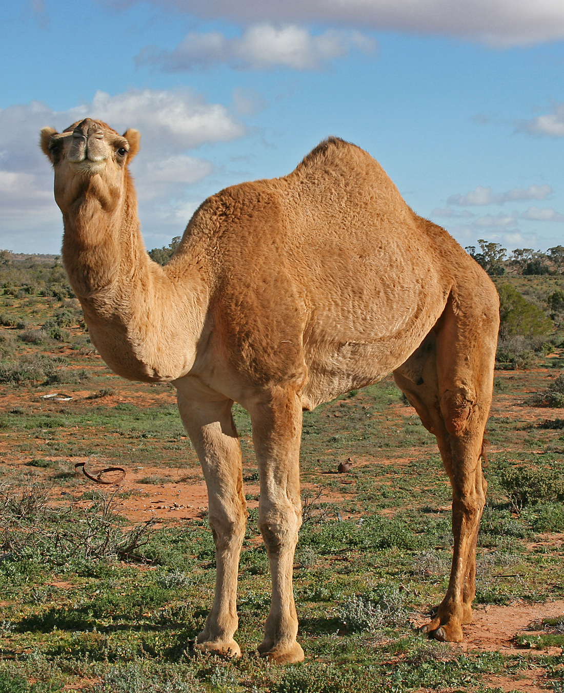
Camel Profile by Jjron used under CC BY-SA Source 11.
I'm "humpy" you made it to the end!
References
1. Fitzgerald, P. (2009). North Africa regions map. [Digital Image]. Retrieved from http://commons.wikimedia.org/wiki/File%3ANorth_Africa_regions_map.png. Available under Creative Commons Attribution-Share Alike 3.0 Unported.
2. CIA. "Western Sahara." Central Intelligence Agency. Central Intelligence Agency, n.d. Web. 16 Apr. 2015.
3. Kmusser. (2007). Westernsaharamap. [Digital Image]. http://commons.wikimedia.org/wiki/File%3AWesternsaharamap.png. Available under Creative Commons Attribution-Share Alike 2.5 Generic.
4. El Uali Mustapha Sayed. (2012). Flag of the Sahrawi Arab Democratic Republic. [Digital Image]. http://commons.wikimedia.org/wiki/File%3AFlag_of_the_Sahrawi_Arab_Democratic_Republic.svg. Available under Public Domain
5. Abelson, Jenn. "Western Sahara: Why Africa’s Last Colony Can’t Break Free - The Boston Globe." BostonGlobe.com. The Boston Globe, 16 June 2013. Web. 19 Apr. 2015.
6. Theodora. "Western Sahara Economy 2015, CIA World Factbook." Western Sahara Economy 2015, CIA World Factbook. Countries of the World, 19 June 2014. Web. 19 Apr. 2015.
7. IMF. "IMF Data." IMF Data. International Monetary Fund, 20 Oct. 2014. Web. 14 Apr. 2015
8. Cingularite. (2012). Port de Laayoune. [Digital Image]. http://commons.wikimedia.org/wiki/File%3APort_de_Laayoune.jpg Available under Creative Commons Attribution-Share Alike 2.0 Generic.
9. "Agriculture & Farming." Agriculture & Farming. Sahara-Developpement, n.d. Web. 19 Apr. 2015.
10. Sadalmelik. (2012). Western Sahara Topography. [Digital Image]. http://commons.wikimedia.org/wiki/File%3APort_de_Laayoune.jpg. Available under Public Domain.
11. Jonathunder. (2009). Flatbread. [Digital Image]. http://commons.wikimedia.org/wiki/File%3AFlatbread.JPG. Available under Creative Commons Attribution-Share Alike 3.0 Unported.
12. Blaine, David . (2006). Goat chops. [Digital Image]. http://commons.wikimedia.org/wiki/File%3AGoat_chops.jpg. Available under Creative Commons Attribution-Share Alike 3.0 Unported.
13. Amirobot . (2009). HALIB. [Digital Image]. http://commons.wikimedia.org/wiki/File%3AHALIB.jpg. Available under Creative Commons Attribution 2.0 Generic.
14. Stenudd, Josefine. (2007). Camel Profile, near Silverton, NSW. [Digital Image]. http://commons.wikimedia.org/wiki/File%3ACouscous-01.jpg. Available under Creative Commons Attribution 2.0 Generic.
15. Jjron. (2007). Couscous. [Digital Image]. http://commons.wikimedia.org/wiki/File%3AWestern_Sahara_Topography.png. Available under Creative Commons Attribution-Share Alike 3.0 Unported.
